Initiative

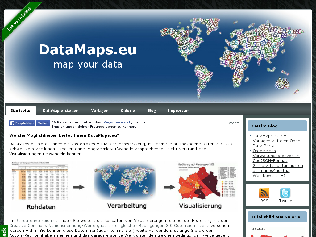
DataMaps.eu

Free tool and project for visualizing location-based data

DataMaps.eu enables map visualizations from location-based data and provides geographic templates and selected raw data.

At a glance

DataMaps.eu is a free tool for visualizing location-based data. It turns data from tables into map visualizations without requiring programming.

The project offers geographic SVG templates and several input options, including manual entry, lists, and JSON. Raw data for some visualizations is made available for reuse. The project also documents examples of visualizing data from Vienna’s open-data catalogue.

Explore their work

Primary sources and useful places to continue exploring.
Linked data

JSON-LD · Turtle · JSON

Bring your knowledge to the conversation.

One submission. A profile on OKAT and Open Data Inside.

Add an entry

Manage directory · Directory terms

Open knowledge in your inbox

News from Open Knowledge Austria and Open Data Inside. Projects, events and ways to get involved.

Confirm your email to complete your subscription.